At the end of Horse Canyon/ Salt Creek is
Fortress
Arch.
|
 |
Here's the sun setting
on the rock formations near our campsite Wednesday
night.
|
 |
We were trying to beat
the rain. We got the tent up, made dinner and ate it, then crawled
in the tent when
it started to
rain.
|
 |
We saw this ruin on
our way out of Horse Canyon Thursday morning the 22nd. We think
it was one of the
many granneries we had heard about in Horse
Canyon.
|
 |
Thursday we completely
drove out of the park and into BLM (Bureau of Land Management) land
to camp
and hike. We found a huge mesa on the map that
overlooked most of Canyonlands park. To the mesa
there appeared
to be a 4x4 trail. We figured we'd drive as far as we could then
hike the rest. We got
within 6 or 7 miles of the mesa, so
we ate breakfast and set out for a strenous dayhike. Elevation
gain
was about 1700ft. At least most of it would be
downhill on the way
back.
|
 |
Along the way we got
hailed
on.
|
 |
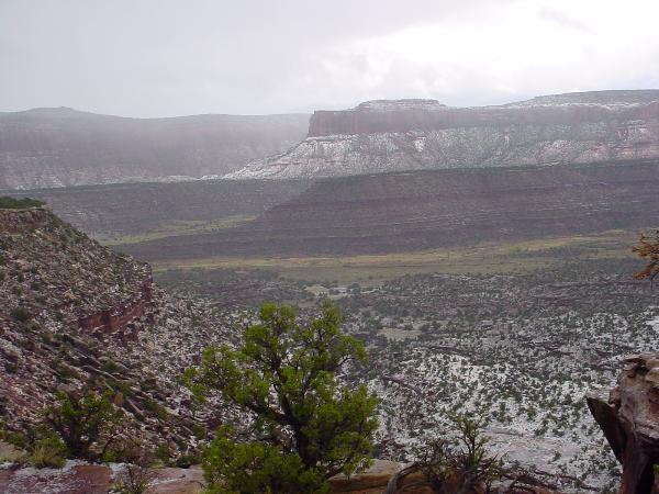
We were lucky enough
to duck under a rock overhang and watch the storm move through the
valley. You
can see the very bottom (the yellow) didn't get
hail. I guess the cows down there just got
rain.
|
 |
Some hail caught in
the rock formations.
|
 |
The big square looking
thing in the distance is the mesa we were headed to. It took 3 hours
to get to this
spot and another hour to get to the mesa. The
view in front of Trent was of Canyonlands National Park. At
this
point we had actually hiked back into the national park.
|
 |
This was our view from
this spot.
|
 |
Next
Page
|